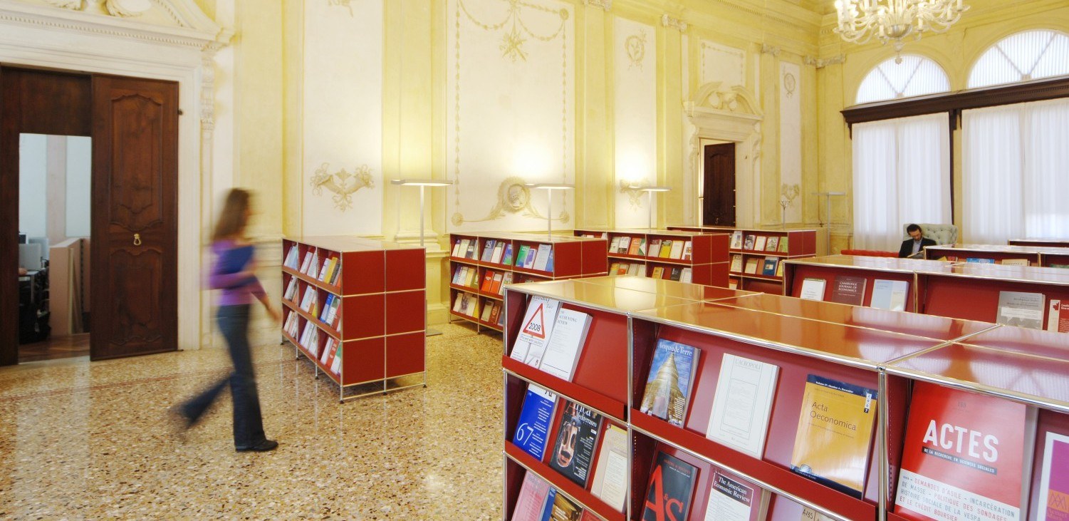
The Library provides documentation for study, teaching and research in the Economic and Business Sciences and in Geographical Sciences. It manages the periodicals of the Social Sciences area.
Economic; Business Sciences; Geographical Sciences
ricercabib.scienzesociali@unipd.it
corsibib.scienzesociali@unipd.it
dd.polobibliosociale@unipd.it
Area: Historic Centre of Padua
Public transport is the solution we recommend, as Via del Santo is in a restricted traffic zone from 8 a.m. to 8 p.m.
If you come by car, you can park in Prato della Valle (for a fee) and reach us on foot; or in the Fiera area and take bus no. 18 to the centre (Largo Europa).

Business Source Ultimate offers access to over 3,500 full-text journals (including Harvard Business Review), industry and company profiles, trade publications, case studies and SWOT analyses, allowing you to track business trends and topics worldwide with thousands of full-text journals from North America, Africa, Asia, Oceania, Europe and Latin America.
SSO eduVPN
The database provides the full text of reviews published by the Journal of Economic Literature since 1994 and by the Index of Economic Articles. It includes journal articles, dissertations, monographs and conference proceedings covering all aspects of economics. Access is limited to 4 simultaneous users.
eduVPN
MyDesk24 is the online Integrated Document System of “Il Sole 24 Ore” created for the Ministry of Economy and Finance. The platform contains the full-text archive of the daily newspaper “Il Sole 24 Ore” from 1920 to today's issue, as well as databases and specialised magazines of the “Sole 24 Ore” editions. To access the SSO authentication screen, in the “organisation name” box type “Università degli Studi di Padova”.
SSO
Orbis is the world’s most powerful comparable data resource on private companies. It contains information on companies across the world. It focuses on private company information and also presents companies in comparable formats. It has information on around 400 million companies from all countries. Bureau van Dijk sources the information from over 170 different providers and states that it adds value to this information as it standardises the data and links the sources together.
eduVPN
The impressive Cartoteca preserves the cartographic heritage accumulated during the years by the “Institutes of Geography and Physical Geography” first (1873-1983) and the “Department of Geography” later (1984-2011). It includes the IGM (Military Geographical Institute) maps, nautical maps of the Navy Hydrographic Office and more.
Only at the Library
MapFly is a web app for consulting the cartographic heritage of the University of Padua. It allows you to search and locate, on a geographic basis, 30,000 geothematic and historical maps preserved in the Libraries of Geography, Geosciences and Engineering. The available public domain maps, especially the historical ones, have been georeferenced, therefore you can view them on the web and possibly also download them.

Nothing evokes the concept of mobility like geographical maps. The exhibition however proposes a shift in point of view: the maps contained in the pages of the atlases donated by Armando Morbiato are stripped of their traditional role of travel aid, to become moving objects themselves. What journeys have these maps made and what itineraries do they reveal?

The Marco Fanno collection is made up of around 1500 volumes from his personal library and an archive collection of his handwritten notes, which cover forty-five years of his research activity.

The exhibition recounts the great conflicts and moves between past and present, from the unpublished pages of a soldier's diary from 1918 to the testimonies of some University of Padua students from war zones.
From the Borgiano World Map (around 1430) to the first modern atlas created by Ortelius (1570); from the Atlas of Universal Geography by Naymiller & Allodi (1864) to the maps of the voyages made in Equatorial Africa in the second half of the 19th century: a fascinating journey into the evolution of this editorial product.
A selection of historical maps depicting Padua and its territory, the hydrography of Veneto, Venice and the Adriatic. Of particular note are the “Gran carta del Padovano” by G. A. Rizzi Zannoni (1780) and the over 70 maps of the Venetian Lagoon engraved during the 19th century.